Black Plantation £78,000 Freehold
- Thornton-le-Dale, Near Pickering, North Yorkshire
- almost 4 and ¾
- Northern England
-
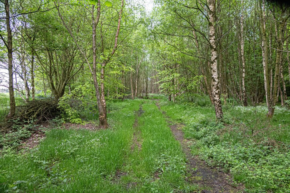
Access track running to the centre of the wood
-
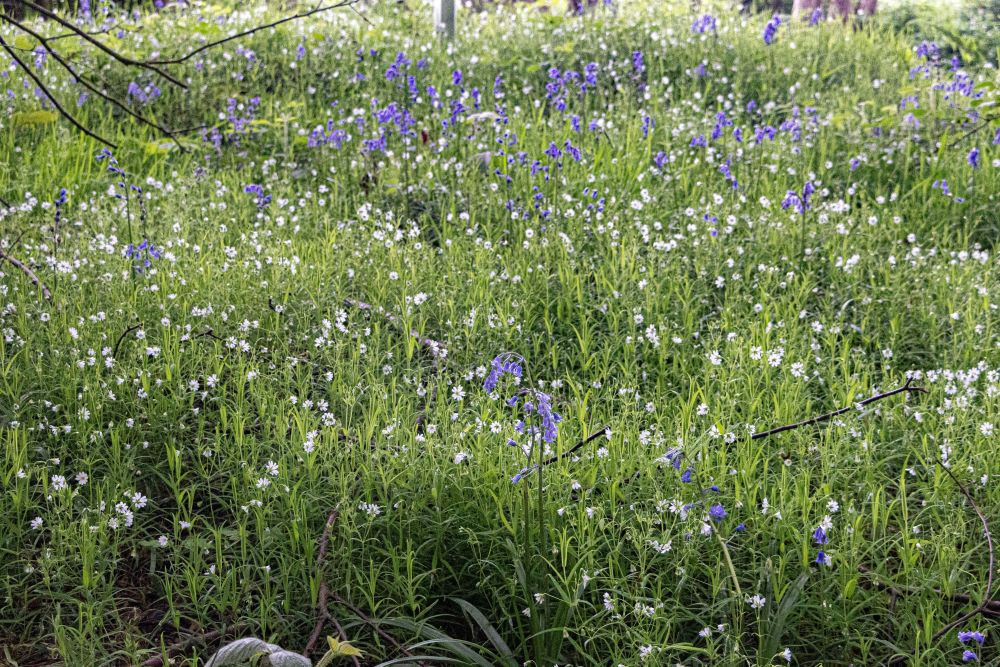
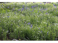
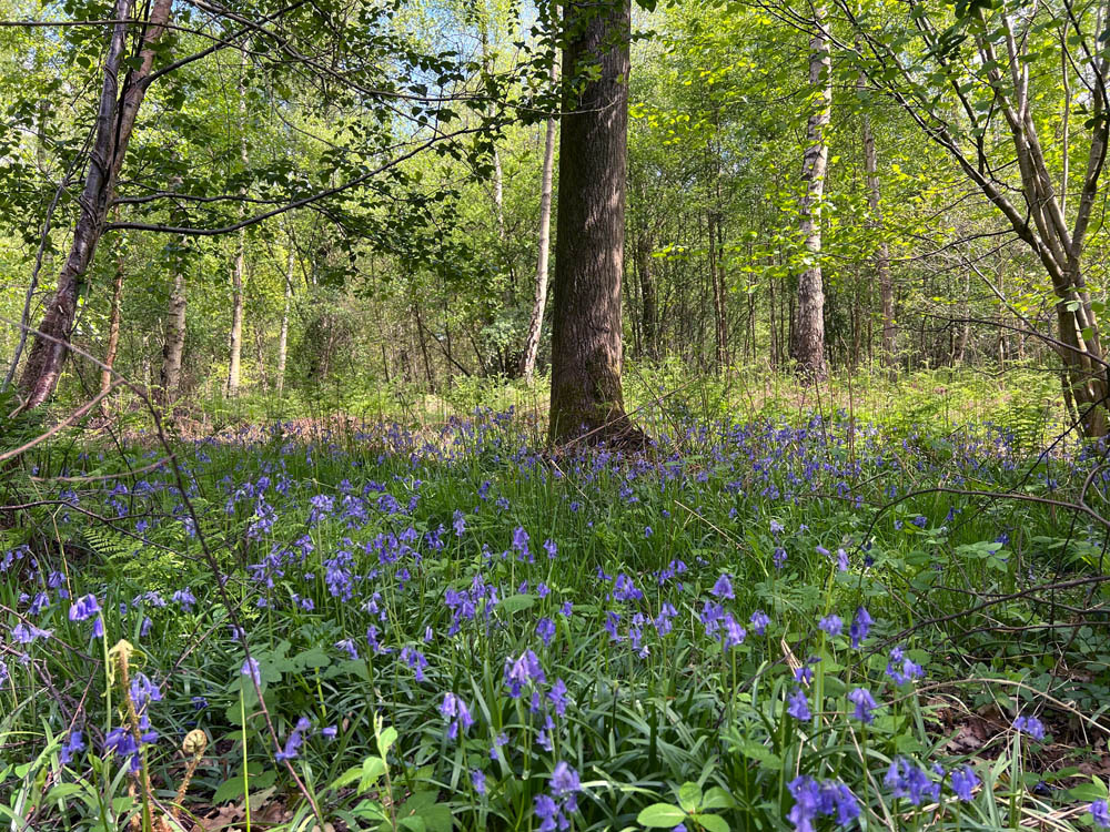
Stitchwort and bluebells carpet the wood in spring
-

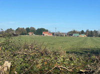
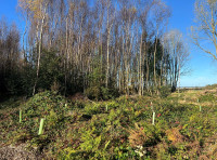
View out from the glade, to the north
-
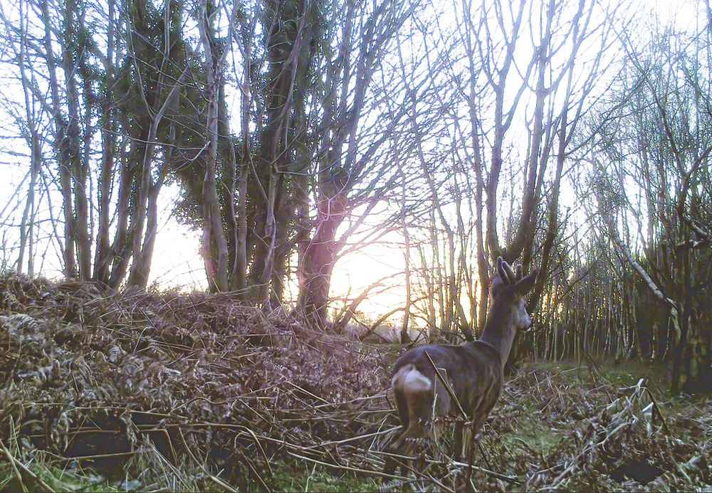
Roe deer captured on a trail camera at dawn
-
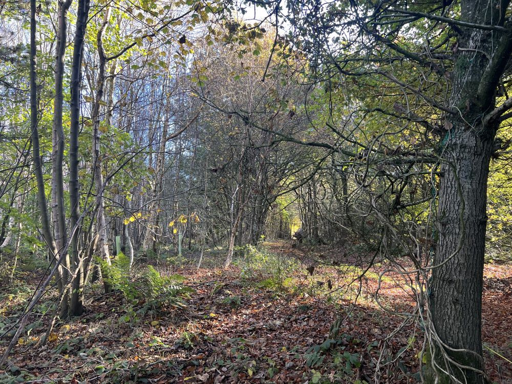
Larch tree in the eastern part of the wood
-

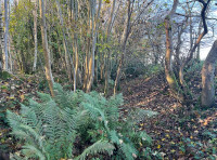
Lovely native ferns are everywhere
-

A deer bed or 'scrape'
-

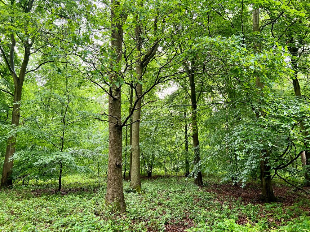
At the southern boundary close to mature beeches
-
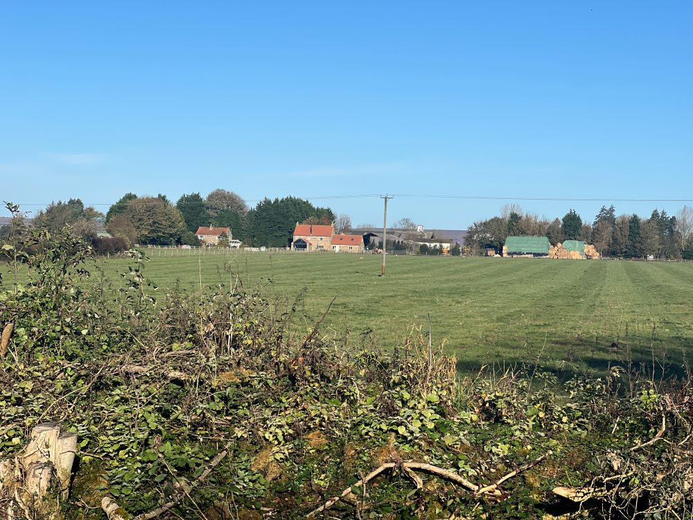
Fox and Rabbit Farm to the north
-

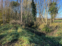
The Bronze Age earthwork along the northern boundary
-

Lots of holly bushes give year-round shelter and privacy
-
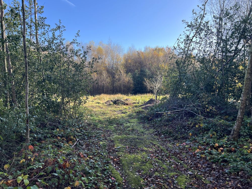
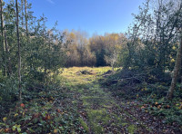
The track ends at a glade in the centre of the wood
-
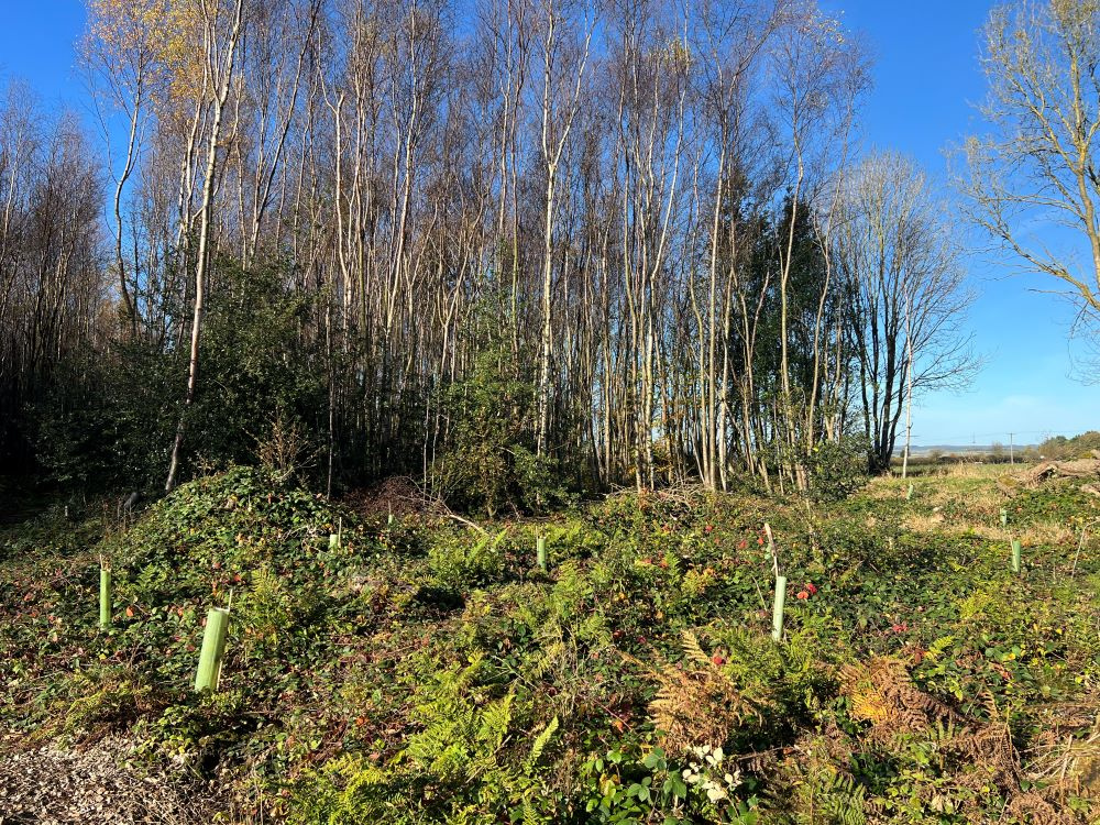
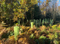
New tree planting at the edge of a clearing
-
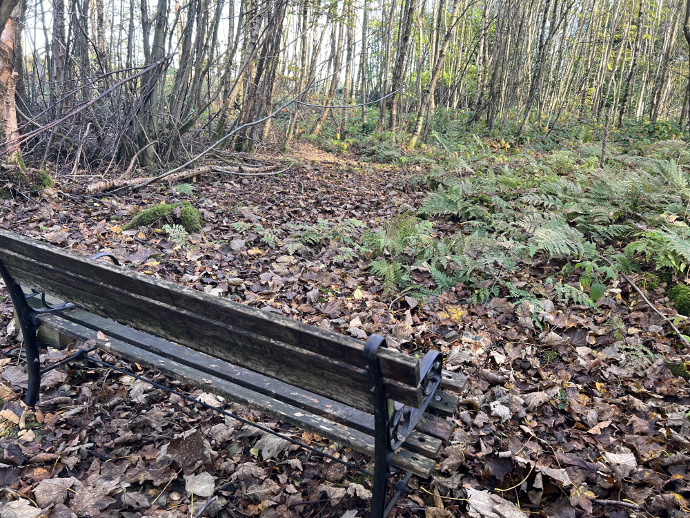
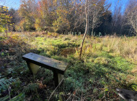
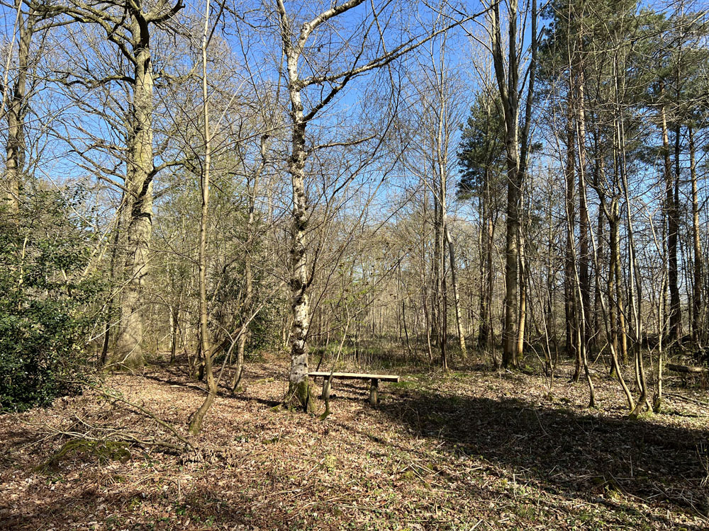
A bench, set in the 'wilder' half of the wood
-
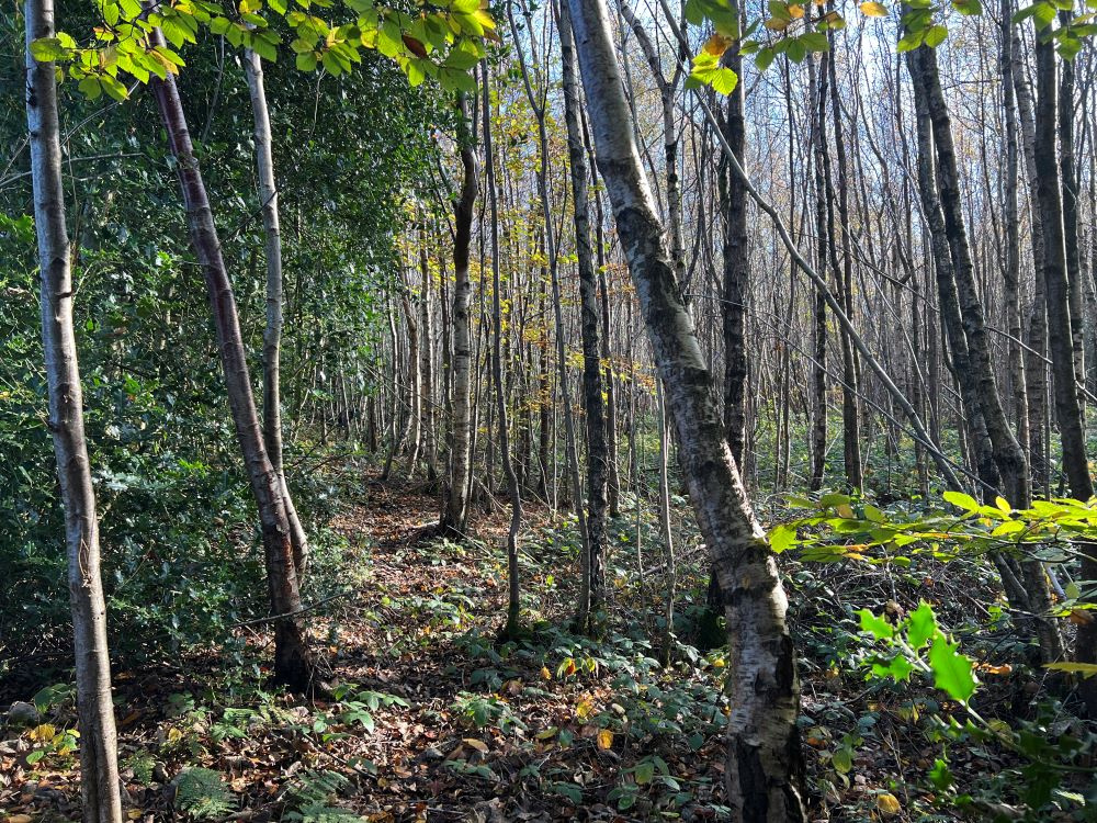
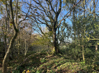
A route amongst the birch trunks
-
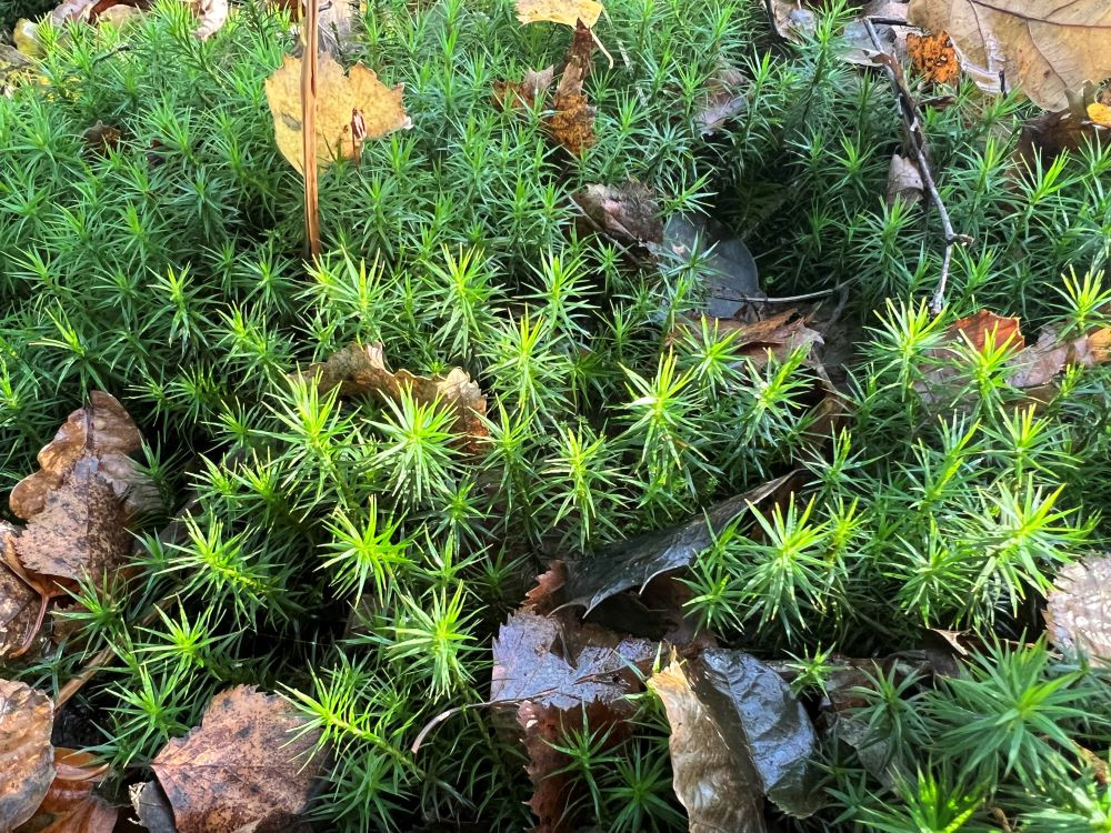
Star moss, like a springy cushion
-
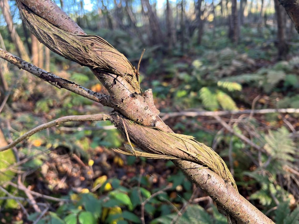
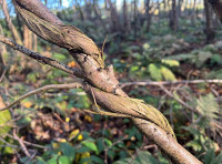
Lots of honeysuckle can be found climbing the trees
-

Native ferns
-
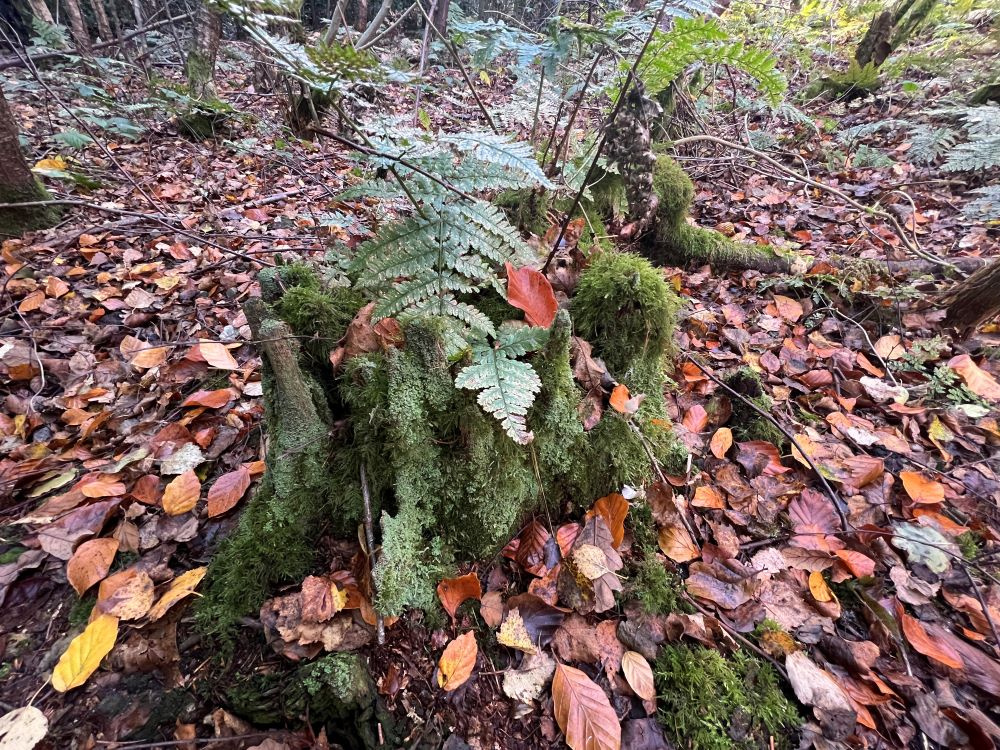
An old oak stump, encrusted with lichen
-

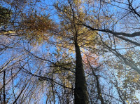
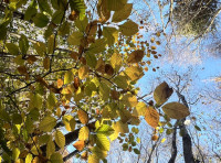
Autumn birch canopy colour
-

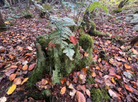
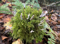
Candle snuff fungus on a mossy stump
-

Autumn beech colour
-

A bench seat overlooking a small pond
-

Tree planting
-
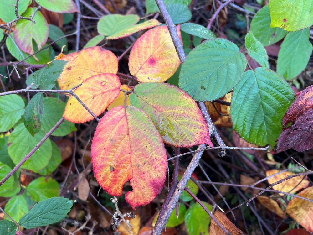
Brambles
-
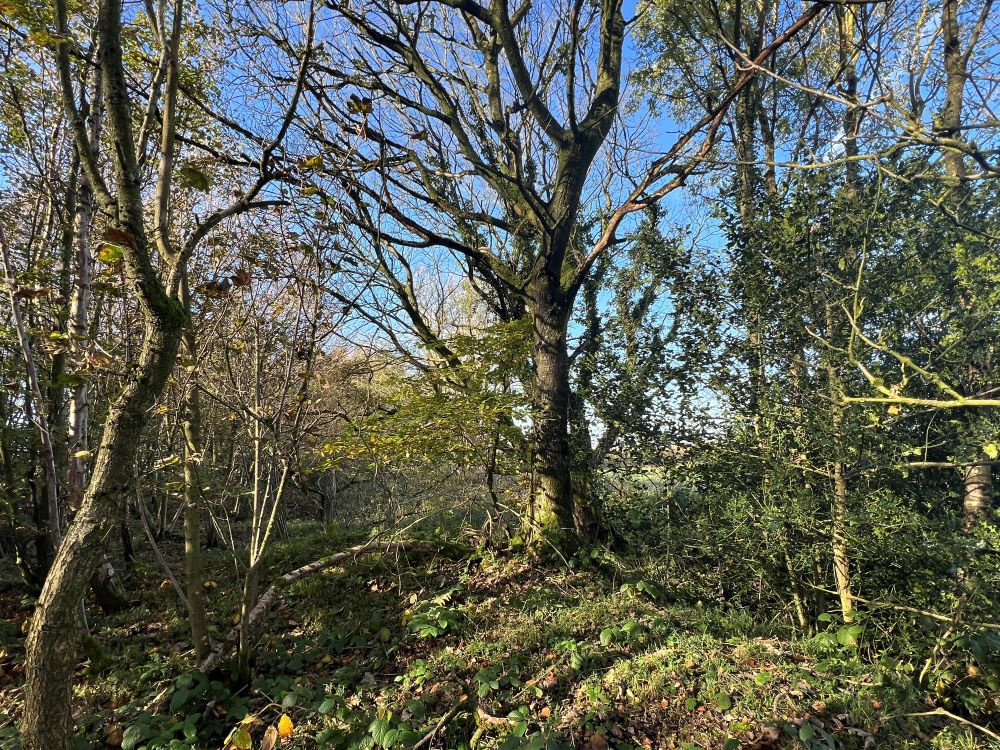
A larger oak tree growing on the bank of the scheduled ancient monument
-
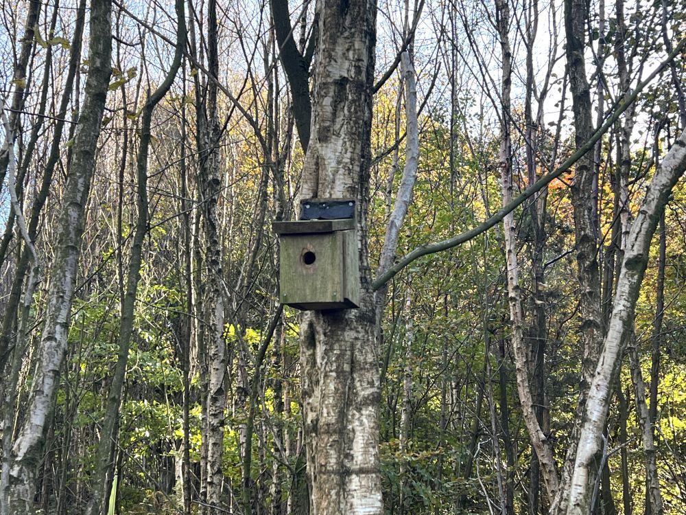
Nest box for tits
-

Birch bark colour (not just silver!)
-

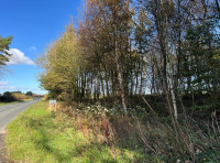
View along the road with the wood on the right
-
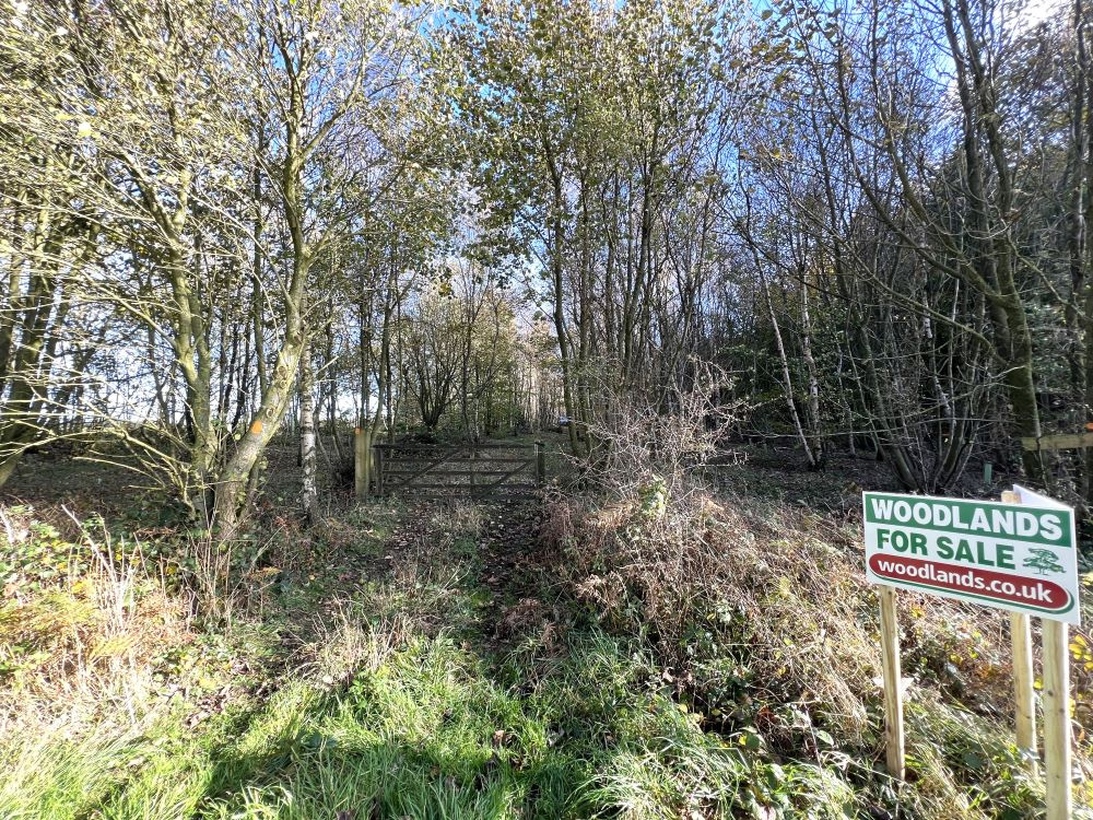
For sale sign at the gate entrance
Description
Adjoining Forestry Commission woodland, forming part of Dalby Forest, near Thornton-le-Dale, Black Plantation is a broadleaved woodland situated in the North York Moors National Park and includes a scheduled ancient monument known as Cross Dyke.
The current tree cover predominantly dates from around the year 2000 and is mainly birch with beech and holly bushes, a few rowan trees can also be found. At ground level, stitchwort, bluebells, native ferns, honeysuckle, wood sorrel, bramble and wild raspberry clothe the woodland floor, giving indications that this could be an ancient woodland site, though it is not registered as such.
The full length of the site, along the northern boundary, is edged by Cross Dyke, a Bronze Age scheduled ancient monument Listing 1021170. (No damage may be done to this, only maintenance). This earthwork occupies a prominent position, running across the ridge between Newton Dale in the west and Thornton Dale in the east, and is 1.68km long, comprised of a deep ditch and banks. Along its length, there are some much older trees and coppice stools, such as oak, ash, goat willow, wych elm and hazel.
The last owners have begun to rejuvenate the wood and manage it for conservation. Two areas have been cleared; one area has a small pond, bench, wildflower meadow, snowdrops, primroses and other native woodland plants. Hazel, oak and other trees have been planted and a ‘window' has been created to enjoy the view of the adjacent farm and vista through to Dalby and the Moors.
A second glade has, more recently been created to allow more sunlight in, aiding regeneration of tree species. It may be a good base for woodland operations as there is still an excellent home firewood log resource here in the wood.
A Forestry England track edges the southern side of the wood, outside the wood boundary, this is flanked by mature beech trees.
Trees
Birch, beech, oak, goat willow, holly and rowan, with ash, hazel and wych elm along the boundary.
Wildlife
Black Plantation is part of a wide green network of interconnecting wooded areas and sits adjacent to Dalby Forest to the west. It is therefore rich in wildlife, home to roe-deer and other woodland mammals and birds.
Nest boxes have been erected to encourage birds, and wildlife cameras have shown badgers, deer, foxes, owls, hares and rabbits.
Features
- A good potential firewood log resource.
- Bronze-Age earthwork.
- Glades with wildflowers, bench and a small pond.
- Bluebells in spring.
Access, tracks and footpaths
A clear, unsurfaced, track runs from the entrance gate at the public highway through to the second glade, roughly half-way into the wood, and allows vehicular access into the western compartment. Beyond the second glade, animal tracks run through, and clearer footpaths could easily be made. This part of the wood is less has not been managed in recent years and has a wilder feel.
Rights and covenants
There are no public rights of way within the wood.
The sporting rights are not included, but not currently exercised.
Activities
This wood would make an excellent project wood for those seeking active conservation tasks, occasional family camping and as a base for exploring Dalby Forest and the North York Moors National Park.
Local area and history
The North York Moors became a national park in 1952. There are records of 12,000 archaeological sites and features throughout the National Park, of which 700 are scheduled ancient monuments. Human history in the area dates back to the last ice age when, around 10,000 years ago the cold temperatures rose above growing point of 5.5 °C, plant and animal life gradually re-established and humans recolonised plateaus and dales as hunter gatherers.
The North Yorkshire Moors Railway runs through the adjacent dale and you can often hear the evocative sound of distant steam trains, when they’re operating.
Home to over 8,500 acres of breath-taking views, endless walking, running and cycle trails and Gruffalo adventures, neighbouring Dalby Forest offers a great day out.
Current information favours the view that cross dyke earthworks were used as territorial boundary markers, probably demarcating land allotment within communities, although they may also have been used as trackways, cattle drove-ways or defensive earthworks. Cross dykes are one of the few monument types which illustrate how land was divided up in the prehistoric period. They are of considerable importance for any analysis of settlement and land use in the Bronze Age. Very few have survived to the present day and hence all well- preserved examples are considered of national importance.
Wood maps
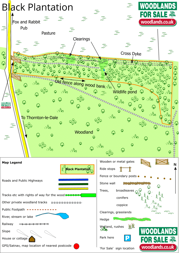
Wood map
Boundaries
The boundaries of the wood are marked with orange paint. These are on a mixture of post tops and trees.
Find this wood
Location
- OS Landranger: OS No. 94
- Grid ref: SE 846 876
- Nearest post code: YO18 7NQ
- GPS coordinates: 54.2772, -0.701362
Location map
Directions
Just 5 miles from Pickering, 20 miles from Scarborough and 30 miles from York.
- From Pickering take the A169 north signed to Whitby
- Proceed for approximately 5 miles until the Fox and Rabbit Pub located on the right hand side, Post code YO18 7NQ, and turn right signed to Thonton-le-Dale and Dalby Forest.
- Proceed for less than half a mile before reaching Black plantation located adjacent to our for sale sign to the left.
- Park carefully in the gate way and walk around the gate to view.
How we support our buyers
Membership of the small woodland owners’ group
£300 for a woodland course of your choice
One year's free membership of the royal forestry society
Our regional managers are often out working in our woodlands, so if you email an offer and want to be sure it has been received, please phone our manager on their mobile phone. The first offer at the stated price which is accepted, whether by phone or email, has priority.
Please take care when viewing as the great outdoors can contain unexpected hazards and woodlands are no exception. You should exercise common sense and caution, such as wearing appropriate footwear and avoiding visiting during high winds.
These particulars are for guidance only and, though believed to be correct, do not form part of any contract.
A deciduous woodland in the North York Moors National Park, close to Dalby Forest featuring a bronze-age earthwork.

