Hillfort Wood £85,000 Freehold
- Castlehill at Capel, Tonbridge, Kent
- over 5½ acres
- South East England
-
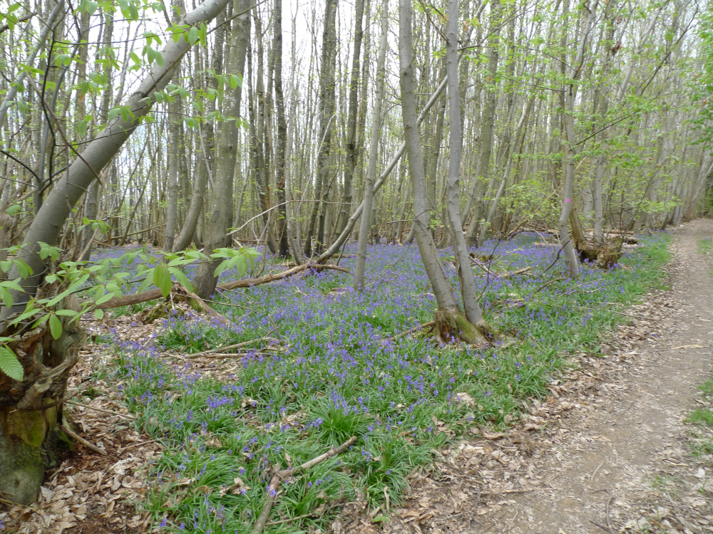
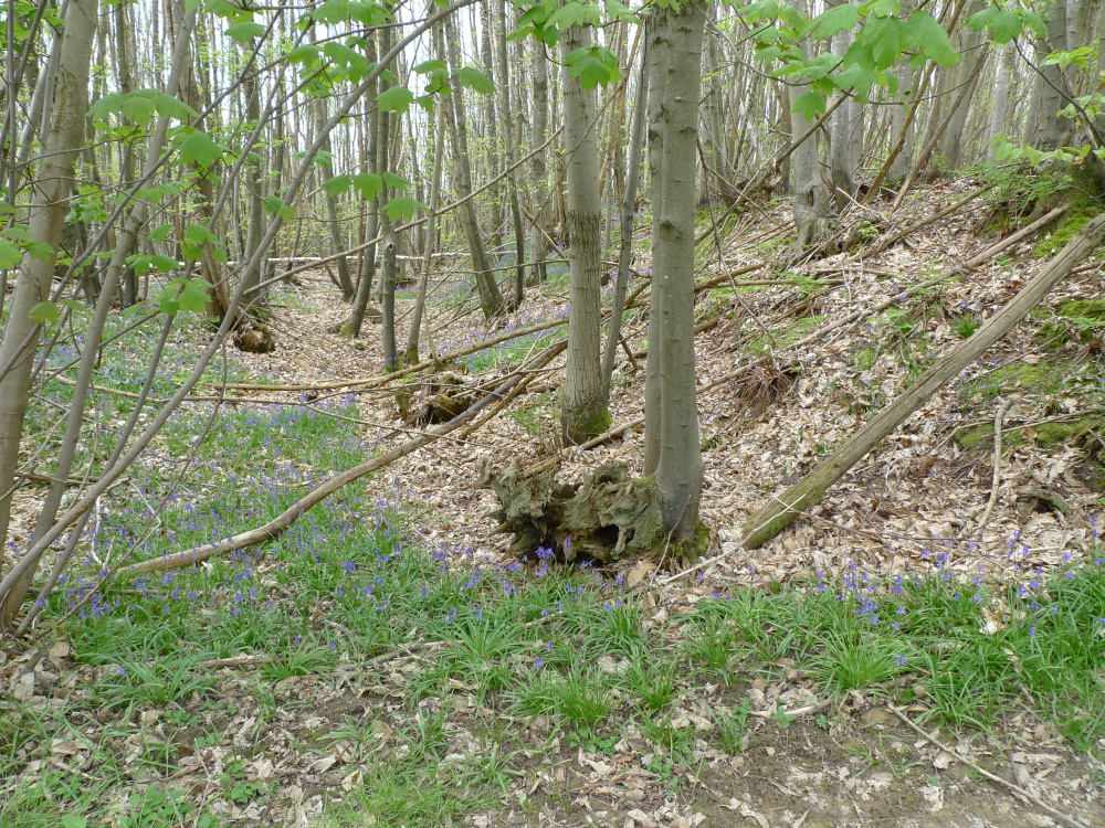
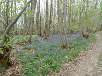
bluebells from last season
-
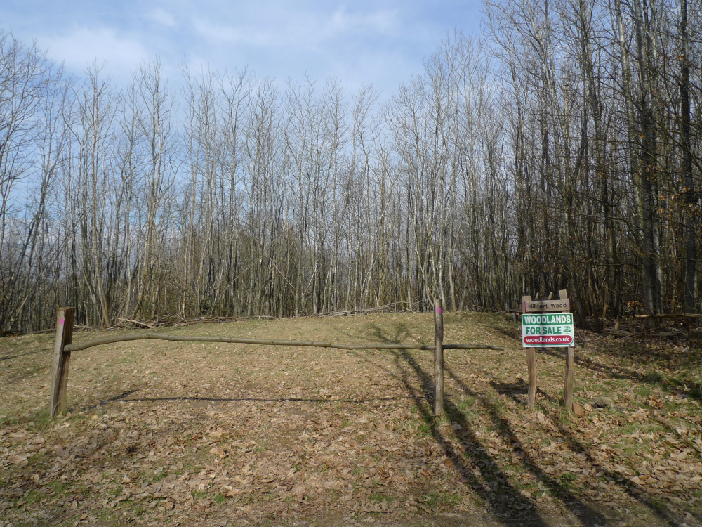
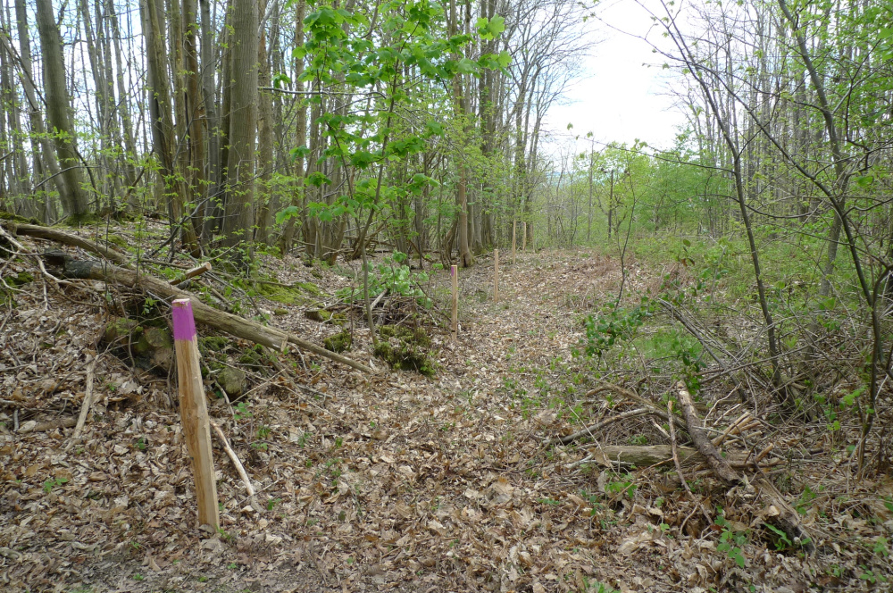
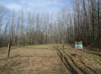
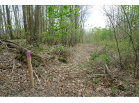
entrance
-
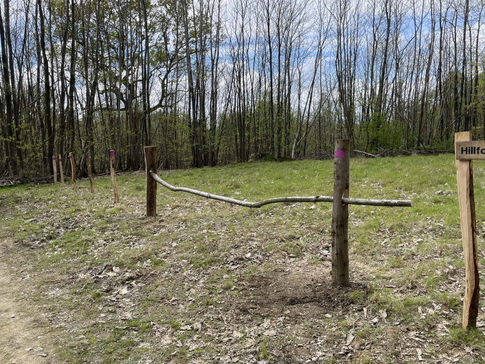
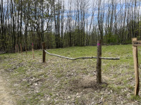
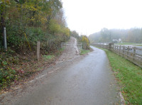
ridestop and boundary
-
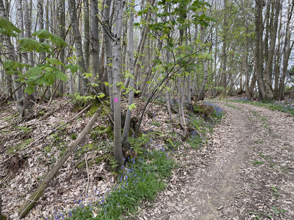
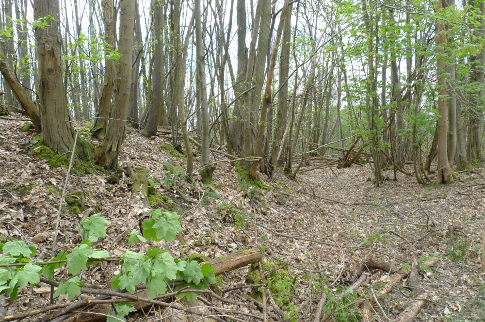
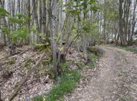
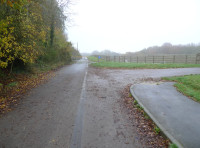
main track
-
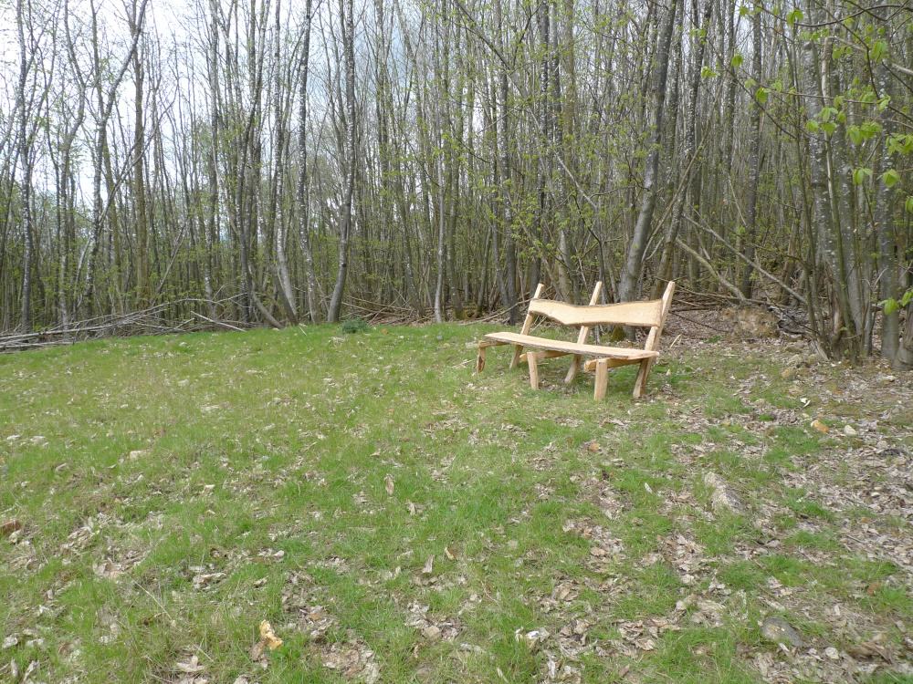
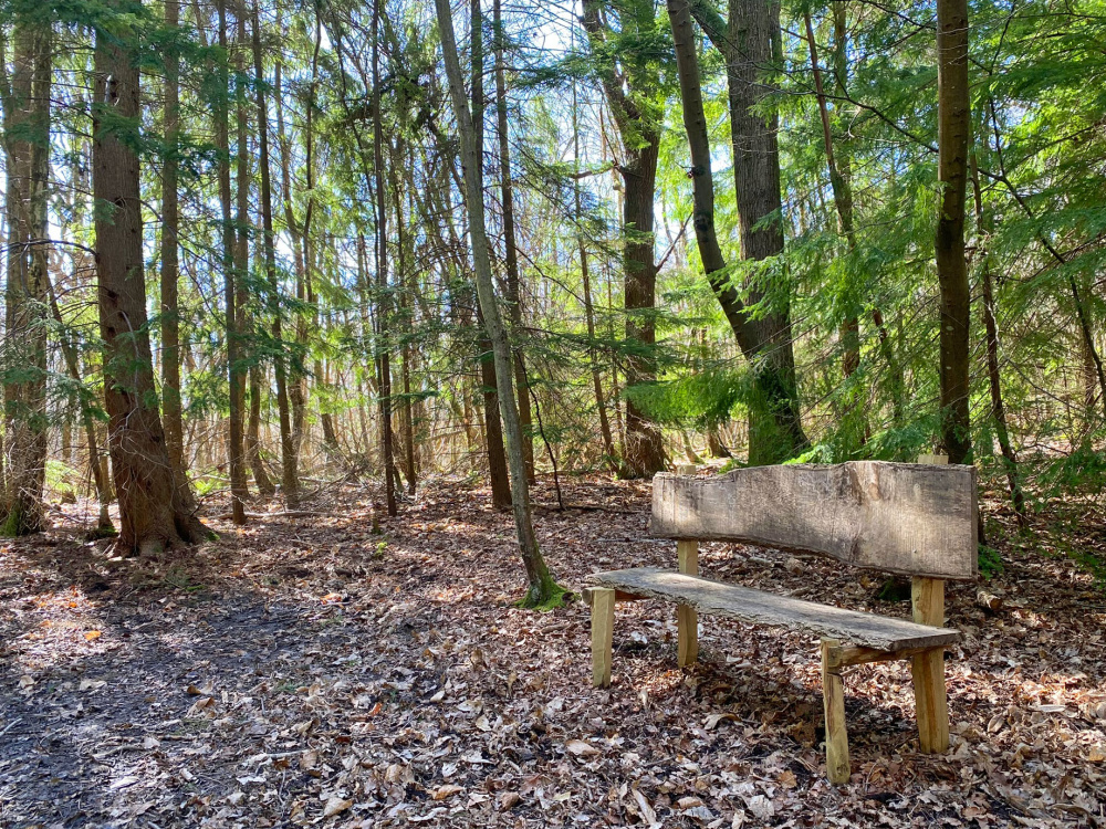
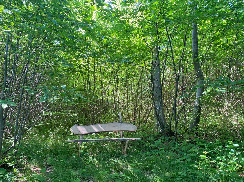
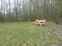
bench
-
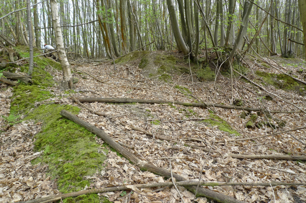
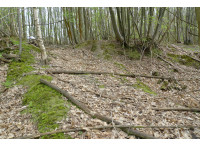
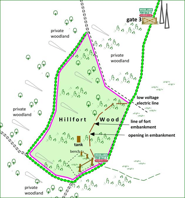
hill fort mound
-
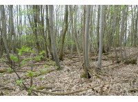
chestnut coppice, leaves emerging
-
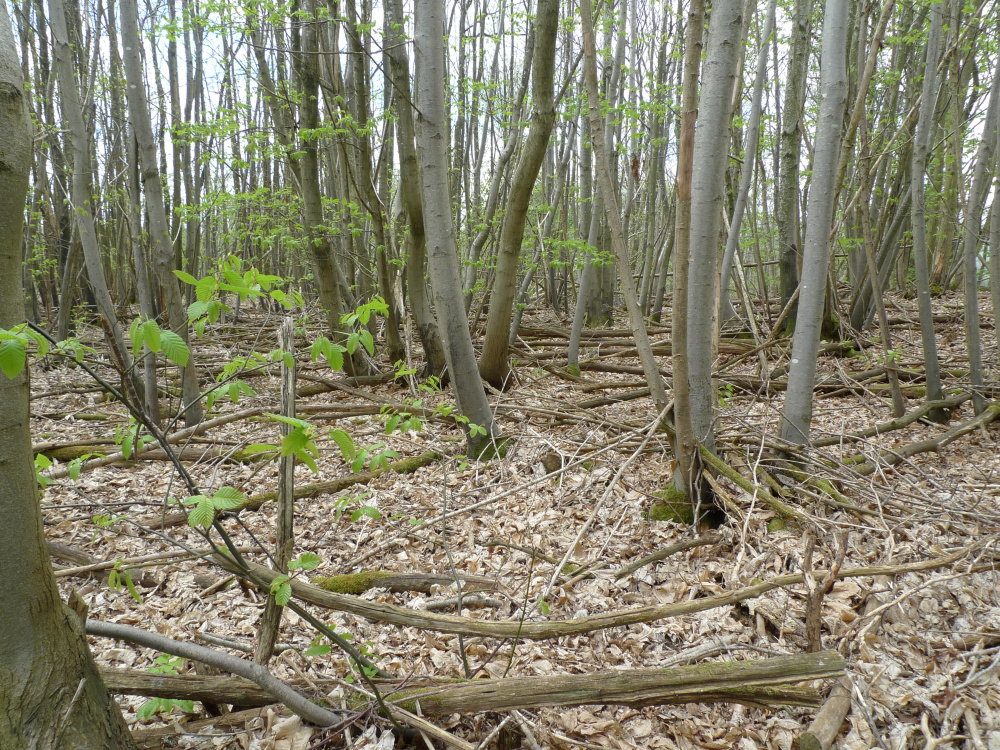
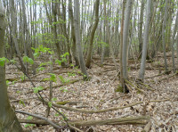
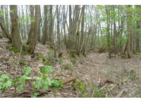
sweet chestnut coppice
-
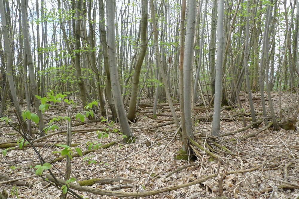
sweet chestnut coppice
-
northeast boundary by wayleave
-
edge hill fort
-
ancient entry to hill fort
-
ancient entry to hill fort
-
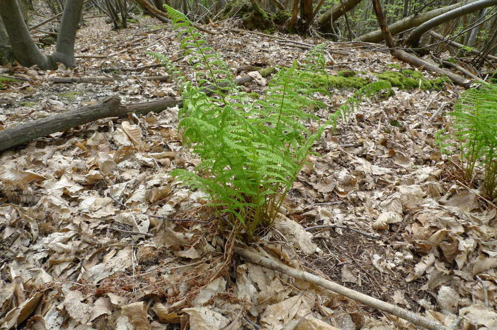
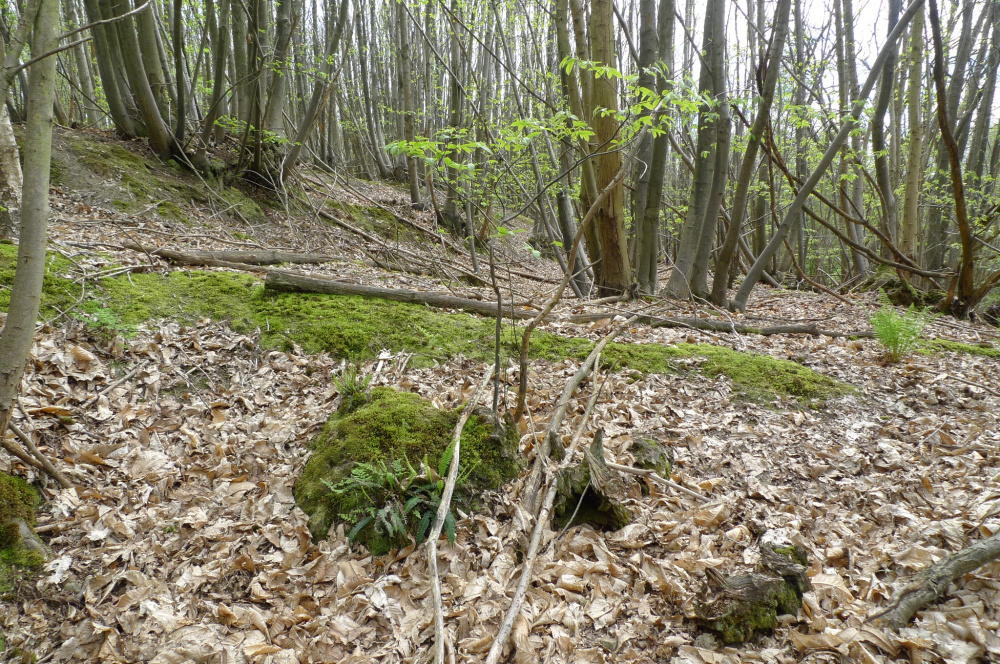
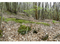
fern
-
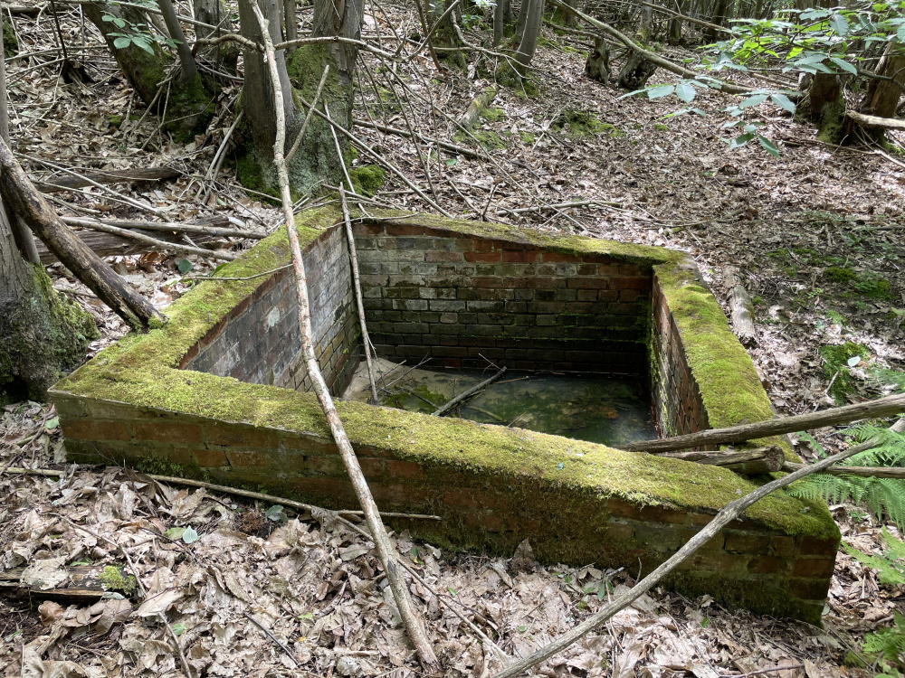
shallow water tank
-

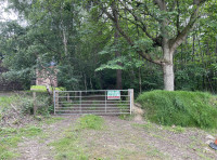
gate 3
-
top of hill fort bank, favourite route for the deer
-
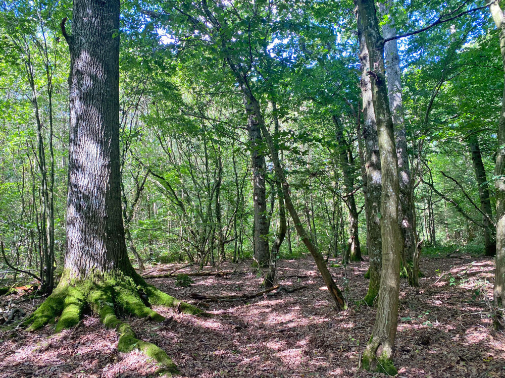
oak on western side of the wood
-
oak and hazel on western side of the wood
-
gate 2
-
gate 1
-
A21 sign
-


Description
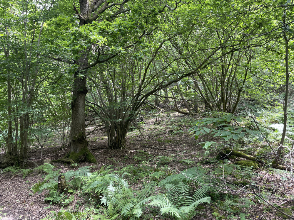
Fascinating woodland with deep historical interest, part of an ancient hill fort forms a semi-circle through the wood. The ridestop entrance opens up into a large grassed area, ideal for planting or for woodland activities. The site sits on a sandstone ridge with views down into both valleys and the wood slopes down to another track on the northwest side where sweet chestnut gives way to oak and hazel.
Water runs out of the hillside in places as springs.
Trees
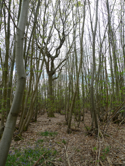
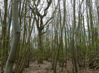
Sweet chestnut coppice is dominant here, but there are silver birch, some oak and some hazel too.
Wildlife
Bluebells are widespread, the resident herd of deer wander though the wood on occasion. A motion operated camera would record what's travelling through the wood. There are about 3 white deer in the herd.
Features
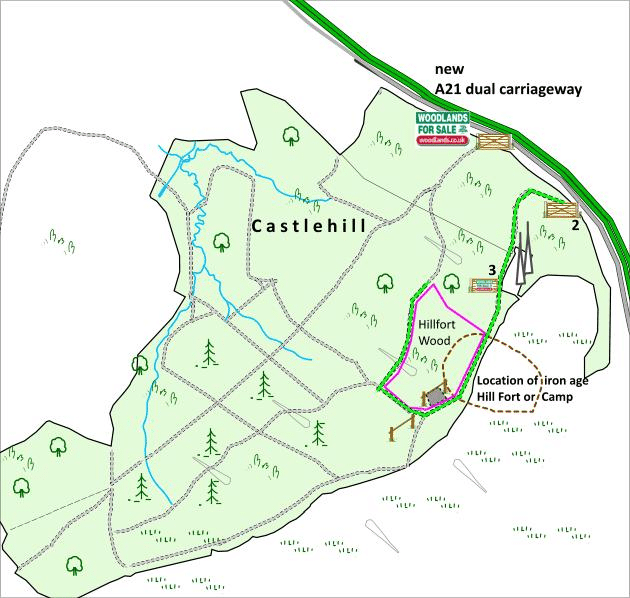
The iron age fort embankments and access point are very obvious, only a small part of the hill fort is included in Hillfort Wood though and occupies about ¼ of the wood.
There is a small brick water tank, this is probably built on an 'issue' (where a spring emerges) to collect and store water. It's likely a steel pipe takes water to points below, we don't know where and it's doubtful if it works now. But this would be a good place for a personal water supply.
Access, tracks and footpaths
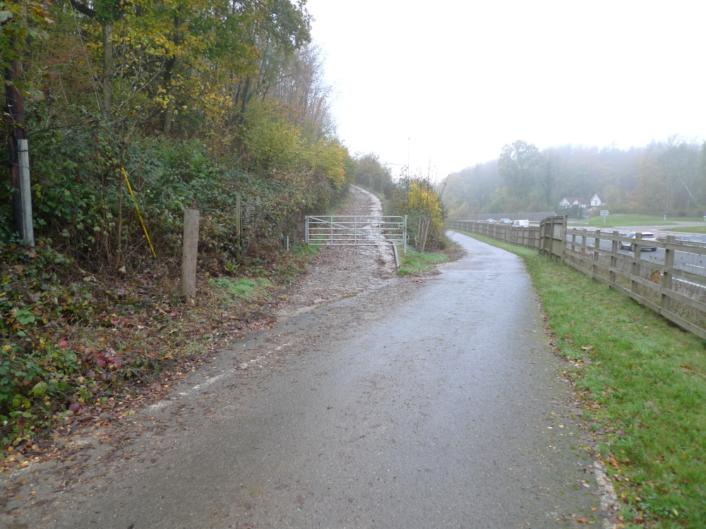
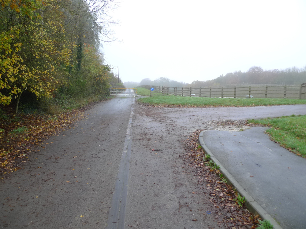
There is a full right of way in perpetuity along the old Pembury Road, now closed to public traffic and then up through the woods to Hillfort Wood.
Rights and covenants
As is the case for all our woodlands, the purchaser will be asked to enter into a covenant which serves to protect the peace and quiet of the woodland.
Activities
There is so much to discover here, mostly with the hill fort, see below for more details. There's plenty of firewood ready for collecting, much of it already seasoned and ready to heat the home.
Local area and history
There is evidence of Iron Age activity with the hill fort within Hillfort Wood. This is a scheduled ancient monument (there is no public access to it) click here for a link to Historic England map. When this was abandoned is difficult to guess, perhaps by 100 BC. It is thought that sites like these were not settled but used as temporary stop-offs by populations from larger sites. This area seems to be the boundary of two tribes, the Regnenses and the Cantiaci. The 1963 map gives a good indication of the extent of the earthworks.
Click here to see Kent Archaeological Review papers Castlehill Fort Papers they describe previous excavations. The 1923 excavations can be seen here 1923 Excavation.
The land falls within the parish of Capel itself, a part of Tunbridge Wells Borough in County of Kent.
Wood maps
Wood map
Boundaries
These are indicated by mauve markings on trees and free-standing posts. The boundaries are the trackside to the southeast, south and northwest. To the northeast it is the edge of the electricity wayleave where there are boundary posts.
Find this wood
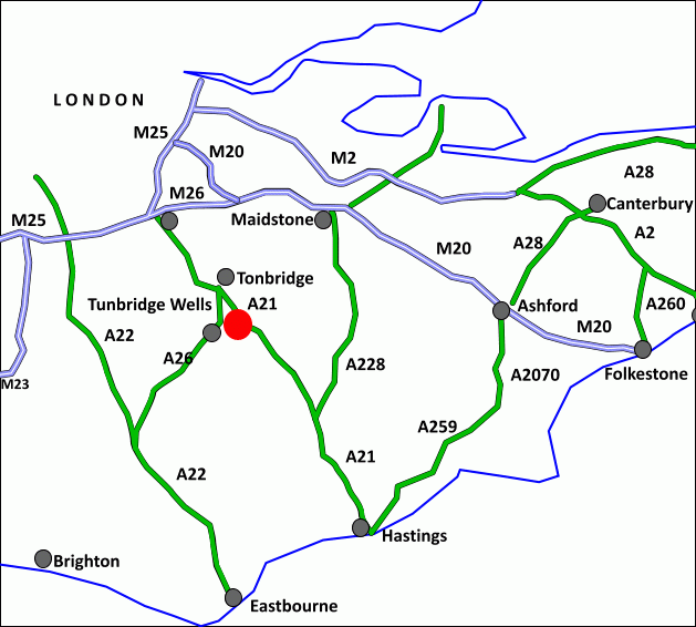
Location
- OS Landranger: OS No. 188
- Grid ref: TQ 606 438
- Nearest post code: TN11 0QG
- GPS coordinates: 51.1714, 0.29588
Location map
Directions
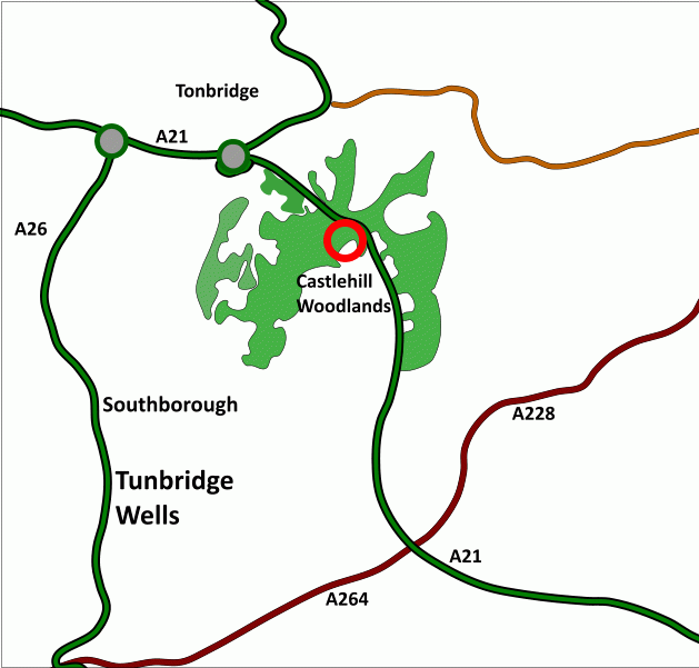
Hillfort Wood, at Castlehill, is about 4 miles north of Tunbridge Wells centre and about 3 miles southwest of Tonbridge, see maps and photos.
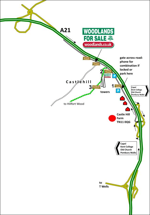
1. Click here for Bing Maps Directions enter your own postcode and click on the "Go" box.This will take you to the access off old Pembury Road.
2. For Satnav: the nearest postcode is TN11 0QG for Castlehill Farm and coordinates for gate 1 are 51.174517, 0.297109
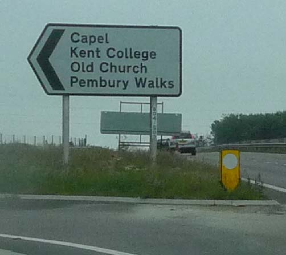
3. If heading south bound take the exit off the A21 signed
"Capel, Kent College, Old Church, Pembury Walks"
- follow the road and then turn right under the dual carriageway
- on emerging go right, signed Castlehill
If heading north bound on the A21 then take the exit signed
"Capel, Kent College, Old Church, Pembury Walks"
- take left turn (do not go under bridge)
then for either route
- pass cottages on the left and arrive at the metal gate 1. This might be locked if so please phone Richard on 07811 818277 for the combination number. Otherwise, park near here and continue on foot
- continue, and if driving park in the layby on the right
- continue on foot as far as the metal gate 2, pass to one side and walk up the track
- you will come to another gate 3 by the television towers
- pass to one side and continue walking through the wood for about 300 metres
- Hillfort Wood will be seen on the right, with mauve markings
- there is a ridestop and open area further on suitable for parking.
How we support our buyers
Membership of the small woodland owners’ group
£300 for a woodland course of your choice
One year's free membership of the royal forestry society
Please note this wood is owned by woodlands.co.uk.
Our regional managers are often out working in our woodlands, so if you email an offer and want to be sure it has been received, please phone our manager on their mobile phone. The first offer at the stated price which is accepted, whether by phone or email, has priority.
Please take care when viewing as the great outdoors can contain unexpected hazards and woodlands are no exception. You should exercise common sense and caution, such as wearing appropriate footwear and avoiding visiting during high winds.
These particulars are for guidance only and, though believed to be correct, do not form part of any contract. Woodland Investment Management Ltd hereby give notice under section 21 of the Estate Agents Act 1979 of their interest in the land being sold.
A beautiful bluebell woodland on a sloping site, mature oak and lots of sweet chestnut, a prime archaeological site waiting to be explored.